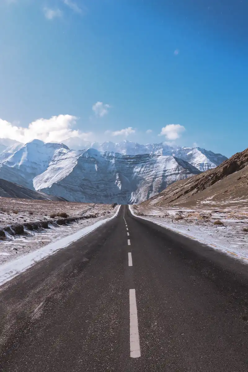

The 474-kilometer mountain corridor linking Manali in Himachal Pradesh to Leh in Ladakh is not merely a highway; it is one of the highest, most revered, and physically demanding high-altitude routes on planet Earth.
Crossing five monumental Himalayan passes, navigating glacial water crossings that swell each afternoon, and traversing the high arid plains of Morey requires meticulous mechanical planning, altitude acclimatization protocols, and up-to-date permit intelligence. Here is the operational field blueprint compiled directly by our Skypath road marshals.
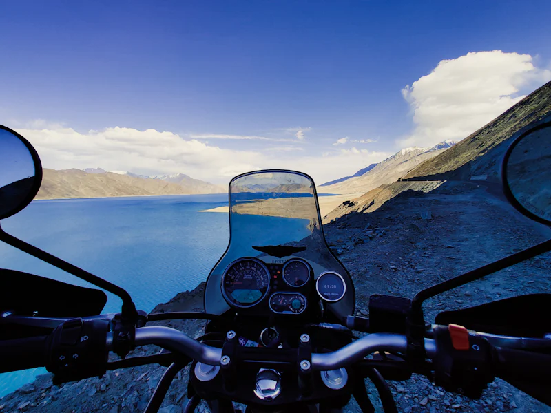
The Recommended 3-Day Transit Itinerary
While commercial tempo drivers occasionally attempt this stretch in 18 to 22 non-stop hours, doing so causes acute altitude sickness in over 85% of travelers. We mandate a multi-stage approach:
Drive through the 9.02-km Atal Tunnel into Lahaul. Stop in Sissu to marvel at the waterfall and fill your fuel tank in Tandi. Tandi has the last guaranteed petrol pump before Karu (Ladakh)—a 365-km gap with zero pumps. Overnight stay in Jispa allows gentle lung acclimatization.
Cross Zingzingbar where freezing glacial streams cross the road. Ascend to Baralacha La (16,040 ft), pass the emerald Suraj Tal lake, and enter Ladakh at Killingsarai into the windswept tent colony of Sarchu.
Climb the 21 hairpin switchbacks of Gata Loops, conquer Nakee La (15,547 ft) and Lachung La (16,616 ft), cruise the 40-km high-altitude desert straightaway of Morey Plains, and scale the majestic Tanglang La (17,480 ft) before descending into Leh.
Critical High-Altitude Health & AMS Protocols
Because Sarchu and Pang are located above 14,000 feet, Acute Mountain Sickness (AMS) is the single biggest threat to an expedition. Follow these ground rules:
- Hydration Benchmark: Consume 3.5 to 4 liters of warm water mixed with electrolytes daily. Avoid caffeine and alcohol completely.
- Preventive Medication: Consult your physician regarding Diamox (Acetazolamide) 125mg–250mg starting in Manali 24 hours prior to crossing Atal Tunnel.
- Oximeter Monitoring: Measure SpO2 every morning and evening. Normal resting saturation in Sarchu is between 75% and 85%. Any drop below 68% combined with chest tightness requires immediate descent.
"The Himalayas do not yield to speed. The road from Manali to Leh requires deference, mechanical vigilance, and a steady pace. Treat every pass with respect."
— Skypath Expedition Standard Operating ProcedureMandatory Permits & Fuel Planning
Ensure you carry at least 5 physical photocopies of your Government photo identification (Aadhaar Card or Passport). All vehicles crossing Rohtang Pass require green cess permits via the Himachal tourism portal, while entering Ladakh requires the Ladakh Inner Line Permit (ILP) for onwards travel to Nubra, Pangong, and Hanle.