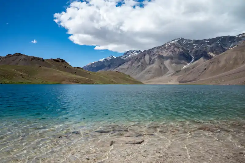
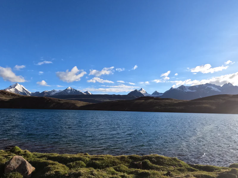
Chandratal is a small, deep blue lake high on a plateau at the edge of Spiti. From above it curves like a crescent moon, which is where it gets its name. In morning light the water turns from turquoise to deep blue, and snow peaks rise behind it.
It is one of the most photographed places in Himachal, and also one of the most fragile.
History and legend
Chandra Taal means "Moon Lake". It lies near the source of the Chandra river, a main branch of the Chenab, on the Samudra Tapu plateau. Kunzum La separates it from the main Spiti valley, and the lake is often counted as part of Spiti even though it sits in the Chandra valley of Lahaul.
Local belief connects the lake to the Mahabharata. One tradition says Indra's chariot came to this plateau to carry Yudhishthira, the eldest Pandava, to heaven. Shepherds and travellers have long used the surrounding meadows and passes, though there is little written history for the lake itself.
Facts at a glance
- Size. The lake is under two kilometres long and less than half a kilometre wide, with a depth of over 40 m at its deepest point.
- Ramsar status. It was named a Ramsar wetland in November 2005 and is surrounded by a wildlife sanctuary.
- Wildlife. Birds such as ruddy shelduck visit in summer. Ibex, blue sheep and the snow leopard are reported in the wider area.
- Frozen months. The lake freezes roughly from December to March, and the road is closed.
How to reach it
Drive through the Atal Tunnel to Lahaul, then past Chhatru toward Batal. It is a long day on a mix of good and rough road.
A link road leaves the main road near Batal and runs about 12 km to a parking area. Road conditions here change, so ask locally.
From the parking area, the lake is about one kilometre on foot. Walk slowly at this altitude.
It is also possible to walk to the lake from Kunzum Pass in around two hours, depending on conditions.
The Hampta Pass trek often ends with a drive to Chandratal. See our Hampta Pass guide.
Season and conditions
The road usually opens from late May and stays open until early October, depending on snow and clearing work. Mid-summer gives the best colours, and early autumn is cold and clear. Nights are very cold even in summer.
Protect the lake
- Respect the rules. Camping, fires and fishing near the shore are restricted. Follow local guidance and camp only where allowed.
- Carry out your waste. There is little waste management at this height.
- Plan for altitude. At about 4,300 m, headaches and fatigue are common. Read the AMS guide.
See Chandratal with Skypath
Chandratal is part of our Hampta Pass trek and Spiti routes.